 Previous Page Next Page
A shape map can be inserted into a tabular cell or the banded header/footer, group header/footer, or banded page header/footer panel of a banded object in a page report.
To insert a shape map into a page report:
 from the Components panel to the destination.
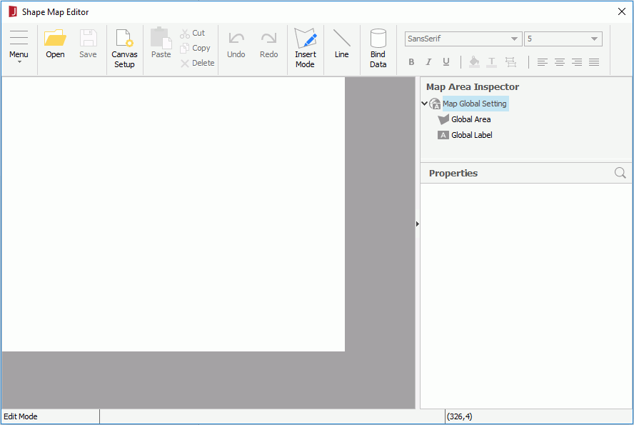
The Shape Map Editor appears.
 to specify the image and click OK.
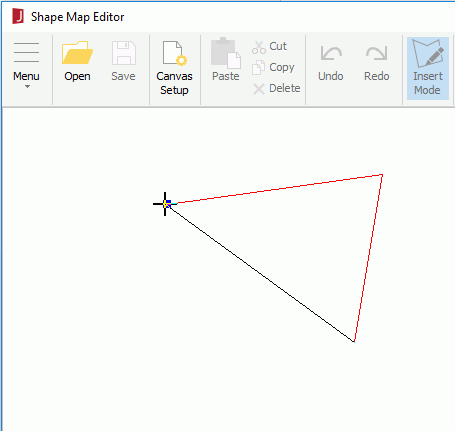
To draw an area, click the left mouse button to pick the start point of the area. Move the mouse pointer and click the left mouse button to select the other points. The points will be connected automatically. When you move the mouse pointer to the start point, a square appears indicating that the area will be closed. Click the left mouse button to finish drawing the area. If you want to undo your last line, click the right mouse button.
To change the shape of an area, move the mouse pointer over the border or the points of the area. When it becomes a cross, choose a point on the line and drag it to create a new point. You can also choose a point of the area and drag it to a new position. If there are three points on one line, the middle point will be deleted automatically.
To move an area, move the mouse pointer close its border. When it changes to a four-headed arrow, drag the area to a new position.
Tip: If you have specified a background image for the map, and the size of it is not the same as that of the map object, you can click Menu > Insert > Match Background Image in the Shape Map Editor to resize the map object so as to make it match the size of the background image.
 to search for the required property using the quick search toolbar if needed.
For areas, labels and summary fields, you can specify the properties globally and apply the global settings to individual ones conveniently. To specify area, label or summary field properties globally, select the corresponding sub node under the Map Global Setting node in the Map Area Inspector tree, then edit the property values accordingly.
To make a specific area, label or summary field adopt the global settings, select it in the inspector tree, then set its Use Global Setting property to true. If you want the global settings to be applied to all the areas, labels or summary fields at a time, click Menu > Edit > Reset All, then in the Reset All dialog, specify the properties according to your requirements.